
The Stillwater County Commissioners seem dead set on fighting County taxpayers in court to protect the rights of outsiders. No county in the history of Montana has ever taken their position, it is untested in court, and it is completely undemocratic and unfair.
To see how undemocratic the Commissioners’ position is, let’s look at two actual properties in the proposed zone. Names have been changed, but these properties actually exist.

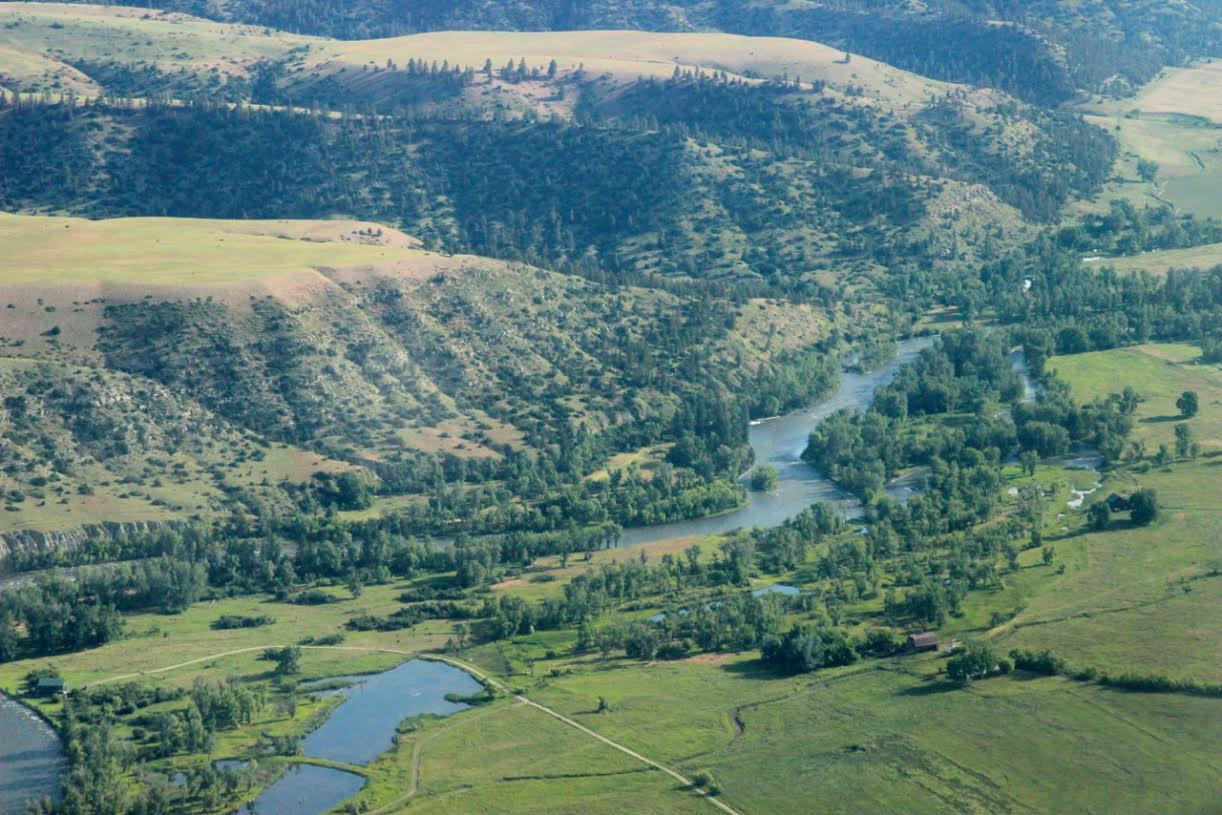
Bill’s ranch counts as one property
Property 1: Bill has lived in Fishtail all his life. His great grandfather homesteaded his 1500 acre ranch beginning in 1910, and his family has lived there ever since. The ranch passed down to Bill and his wife Margaret when his dad died in 1978, and they have willed it to their daughter to make sure it stays in the family. The family has kept the minerals intact for the entire period they have owned the ranch, so Bill has the sole mineral rights.
Bill is not opposed to allowing drilling on his property. The royalties would be welcome, but he is concerned about the possibility of permanent damage. He knows that spills are a natural part of drilling — he found out from the Montana Board of Oil and Gas that there were 91 incidents in Montana in 2016 alone. Toxic spills could harm his livestock, permanently damage his water supply, and render portions of his property unusable.
He signed the zoning petition to make sure that regulations are put in place to require operators to follow industry best practices for water, soil, and air testing. If that happens, he’d be willing to consider leasing his land. If not, he figures it’s just not worth the risk.
According to the standards the Stillwater Commissioners have put in place, Bill’s ranch counts as one property.

The Jensens’ vacation cabin counts as 33 properties
Property 2: The Jensen family lives in Billings. They bought a vacation cabin on a ½ acre plot of land on the Stillwater in Nye in 2012. They love to visit, but it’s hard to get there more than a couple of times every summer.
They don’t know much about oil drilling, but they signed the petition because they are concerned that truck traffic on Stillwater River Road will tear up the dirt and make it unusable.
They have read that a single well can require 400-800 or more truck trips, and wells are frequently grouped together, so it’s easy to imagine serious damage to a dirt road. They know that the County would have to pay for that damage, and remember how it took the Commissioners over two years to scrape together the budget to clean up a rock slide that closed the road. Zone regulations would require operators to pay for any infrastructure damage they cause.

Before and after — what fracking in winter weather did to a dirt road in West Virginia
But here’s the undemocratic part. The Jensens’ mineral rights were severed from their surface rights decades ago. They are now split among 32 owners. According to the Commissioners’ policy, the Jensens’ cabin counts as 33 properties compared to Bill’s one property!
No matter how County Attorney Nancy Rohde and the Commissioners try to spin it, there is no principle of law or justice in the United States of America in which the Jensens’ half-acre vacation cabin should have 33 times the voice of Bill’s 1500-acre ranch. Bill’s family will probably be here for another hundred years, and will have to deal with the consequences of unregulated drilling. The Commissioners think Bill’s opinion should count 3% as much as a bunch of speculators holding lottery tickets for a few hundred dollars worth of oil royalties that will probably never amount to anything.
Feel free to let the Commissioners know how you feel about this nonsense.
 Dennis Shupak, Commissioner, Chair (District 1)
Term expires: 2020
406-322-8010
dshupak@stillwater.mt.gov
Photo: Alpine Images
 Mark Crago, Commissioner (District 2)
Term expires: 2022
406-322-8010
mcrago@stillwater.mt.gov
Photo: Marlo Pronovost, Stillwater County News
 Maureen Davey, Commissioner (District 3)
Term Expires: 2018
406-322-8010
mdavey@stillwater.mt.gov
Photo: Alpine Images
 County Attorney Nancy Rohde
Term expires: 2018
406-322-4333
nrohde@stillwater.mt.gov


ACTION ALERT: Please write by September 20 to keep BLM from selling oil leases in Stillwater County
The Bureau of Land Management is proposing to sell three oil and gas leases in Stillwater County in March, 2018. Two are in Dean (MTM 105431-HW, MTM 79010-8R) and one is on East Fiddler Creek (MTM 79010-JJ). A public comment period is now open. Please make your voice heard by sending in comments about the lease by Wednesday, September 20.
Your comment is critical. The last time a lease was considered in Dean, it wound up being deferred, partly because there were 40 letters sent to BLM opposed to drilling.
Comments should be emailed to: BLM_MT_Billingsfo_Lease_EA@blm.gov
The Billings BLM Field Office (click to enlarge)
The BLM leasing process is governed by a resource management plan (RMP) and associated environmental impact statement (EIS). Together they provide a framework for managing BLM-administered lands and federal minerals. Stillwater County is part of the Billings BLM field office combined with the Pompeys Pillar National Monument, and are managed under an RMP that was revised in 2015.
The RMP guides management of approximately 434,000 acres of BLM land and 1.8 million acres of federal mineral estate managed by BLM for Big Horn, Carbon, Golden Valley, Musselshell, Stillwater, Sweet Grass, Wheatland and Yellowstone counties in Montana, and portions of Big Horn County, Wyoming.
This recent revision is important, since the RMP is only updated every 25 years or so. Changes to the RMP, along with the clear direction of the Trump Administration to remove regulation that block drilling, make it more likely that these leases will be approved than it was in 2014, the last team BLM leases were considered in Stillwater County.
Click on map to download BLM parcel maps for potential lease sales
Lease sales
Leases on BLM land are put up for sale when there is a request from a company that wants to exploit mineral resources. The process is governed by the National Environmental Policy Act (NEPA), which requires federal agencies to integrate environmental values into their decision making processes by considering the environmental impacts of their proposed actions and reasonable alternatives to those actions.
To meet NEPA requirements federal agencies prepare a detailed statement known as an environmental assessment. EPA reviews and comments on environmental assessments prepared by other federal agencies, maintains a national filing system for all assessments, and assures that its own actions comply with NEPA.
The environmental assessment involves two steps:
2. Preliminary environmental assessment: Public review of preliminary environmental assessment. This process takes 30 days before the final environmental assessment.
Given the change in environment at BLM, there is a current push to evaluate these leases without the full EIS process.
Talking points to consider
In making your comments, you might want to consider some of these points. The first is most important.
Considering BLM’s regulation requiring No Surface Occupancy (NSO) within ½ mile of YCT habitat, the BLM should analyze whether any oil and gas development could occur within or near these parcels without violating this requirement. We note that there has been excavation on a drill location very near the boundary of MTM 105431 HW and MTM 79010-8R. Two branches of Meadow Creek flow directly through these two parcels, and downstream from the lease parcel the two branches combine and the stream flows adjacent to the margin of the drill location excavation. Meadow Creek flows into Fishtail Creek about one mile east of lease parcel MTM 105431 HW creating another potential impact area. Similarly to the two adjacent parcels, the East Fork of Fiddler Creek flows through MTM 79010-JJ, which flows into West Rosebud Creek.
In addition, the geologic feature adjacent to Dean on the west, Fishtail Butte is a site sacred to Native Americans, specifically the Crow Indians. Crow oral histories indicate that this is a historic vision quest site attributable to the important Crow chief, Medicine Crow. BLM should analyze this area as a potential Traditional Cultural landscape.
The impact of industrial development should be considered in light of the positive economic impact of a new social group of property owners that are important to this immediate area, providing low impact increases to the tax base and general prosperity of the community. Additionally, the BLM should fully evaluate how the visual, auditory, and interference in the amenity values would affect Dean’s commercial base. The BLM should analyze how a well pad site located on or near (see above comment regarding cutthroat trout habitat) parcel MTM 105431-HW and MTM 79010-8R within view of Dean would impact its status as a community center.
Thanks for sending your comments. Public feedback plays a big part in these decisions. Again, comments should be emailed to: BLM_MT_Billingsfo_Lease_EA@blm.gov
Thanks to Cameron Clevidence at Northern Plains Resource Council for his help in putting together this post.